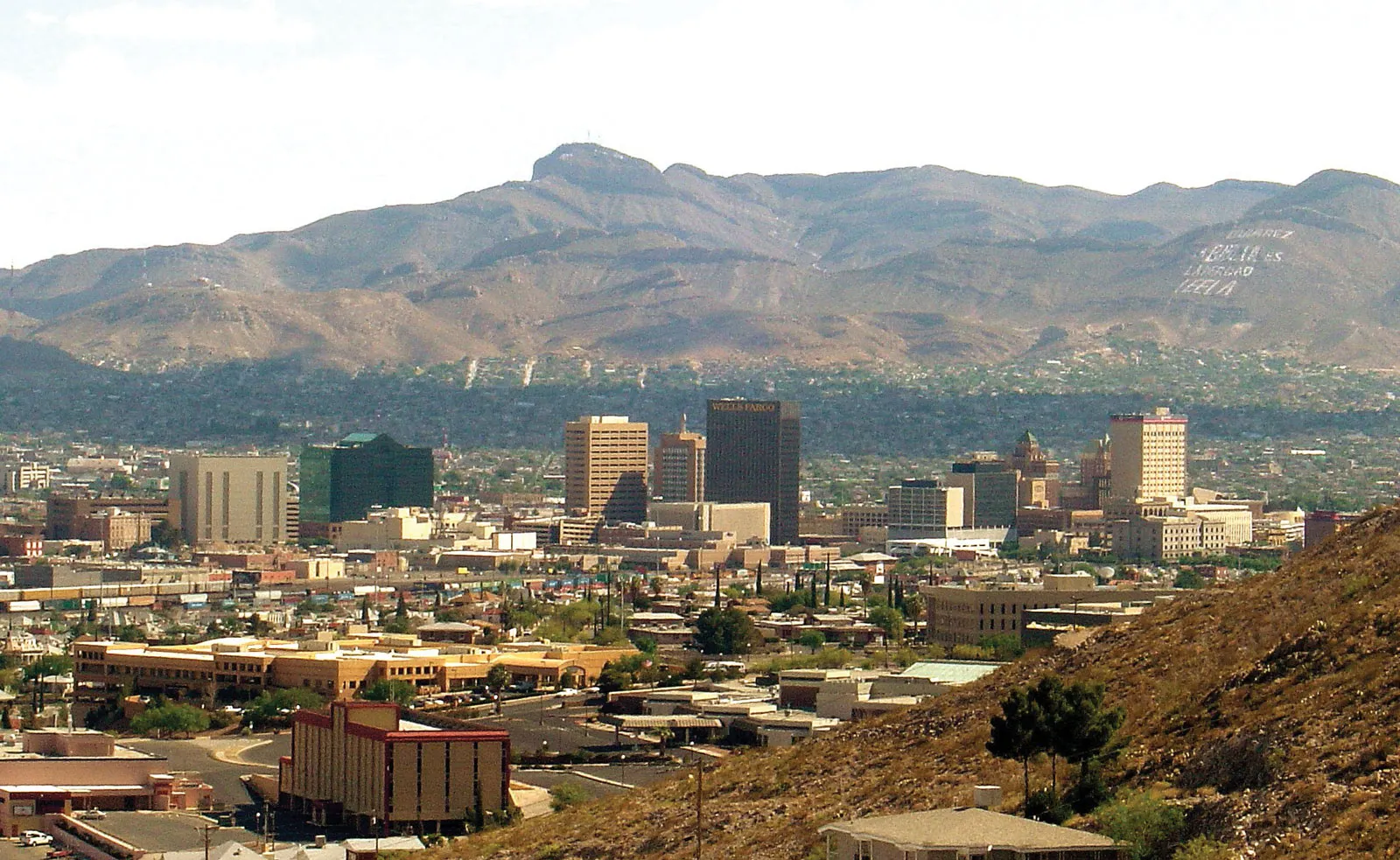

A vacant parcel can be identified by address in seconds and take months to understand. The road shown on the map may be private, the sewer line may have no capacity, half the acreage may sit in floodplain, and the intended use may require a discretionary approval the seller never pursued.
Land is broad enough to fit many 1031 replacement plans and unforgiving when the buyer has not chosen a plan. Value can come from agriculture, ground rent, entitlement, infrastructure, assemblage, extraction, conservation, or long-term location. Each thesis needs different evidence.
First confirm that the parcel will be held for business or investment rather than personal use or primarily for resale. Then work from legal rights and usable ground toward future upside. Do not underwrite from future zoning backward.
Obtain title commitment, current survey, tax map, deeds, easements, restrictions, and legal description. Verify acreage, boundaries, encroachments, gaps, overlaps, access, and whether every parcel in the purchase is included in the identification.
Inspect the boundary with the survey. Fences and roads can sit outside deed lines. Confirm legal and physical access, driveway permits, shared-road maintenance, and emergency access.
Review mineral, water, timber, development, conservation, solar, wind, and other severed rights. A fee deed can convey less economic control than the marketing implies.
Confirm zoning, future land use, overlays, density, setbacks, height, parking, open space, access, and permitted, conditional, and prohibited uses. Ask whether the current parcel is legal and whether subdivision, lot combination, or annexation is required.
Take a specific concept to planning staff and utility authorities. Record preliminary guidance as preliminary. A favorable conversation is not an entitlement, vested right, or capacity reservation.
Price discretionary approvals by probability, time, studies, fees, dedications, conditions, opposition, and an alternative use if denied. The purchase should not require the most optimistic political outcome to protect principal.
Map slope, soils, wetlands, floodplain, drainage, habitat, fire access, geotechnical issues, contamination, easements, setbacks, buffers, and infrastructure corridors. Gross acres can overstate the area available for construction or cultivation.
For development, sketch roads, stormwater, utilities, parking, open space, and building pads before assigning units or square feet. For agriculture, evaluate soils, water, field shape, and access. For recreation or conservation, confirm public access, use restrictions, and management obligations.
Compare price per usable acre, unit, or buildable square foot rather than only gross-acre price. The denominator should reflect the thesis.
Obtain written information on water, sewer, electricity, gas, telecommunications, fire flow, connection points, extension, capacity, fees, and schedule. A line beside the parcel can be undersized, unavailable, or reserved.
For wells and septic, review permits, tests, yield, quality, setbacks, replacement areas, and long-term supply. For surface or groundwater rights, separate legal entitlement from physical availability.
Price off-site work and easements. A utility extension across neighboring land can depend on rights the seller does not control.
Historical agriculture, dumping, fill, tanks, dry cleaning, mining, industrial neighbors, and waste can affect vacant-looking property. Commission appropriate environmental inquiry and follow recognized conditions.
Review wetlands, habitat, cultural resources, vapor, asbestos or lead in remaining structures, wells, septic, and demolition. Allocate testing access, cleanup, indemnity, and termination in the contract.
Preserve enough diligence time to receive results. Identifying the parcel does not require accepting liability the seller would not investigate.
Model taxes, assessments, insurance, debt, security, vegetation, snow, road maintenance, association fees, legal work, consultants, studies, entitlement, utilities, and capital. Add cost escalation and a longer hold.
Land debt may involve lower leverage, recourse, shorter maturity, or development milestones because current income is limited. A maturity before approvals can force a sale or equity injection.
Identify interim income honestly. Farm, grazing, parking, billboard, hunting, ground, renewable, or storage leases can help and can restrict later use. Verify executed terms, assignability, termination, and tenant rights.
Section 1031 excludes real property held primarily for sale. Land developers, lot sellers, builders, and investors can hold different parcels for different purposes, but intent and conduct need evidence.
Document acquisition purpose, business plan, marketing, improvements, frequency of sales, subdivision, development activity, and changes in circumstances. Entitlement work does not produce one automatic tax result; obtain advice before the activity resembles inventory production.
Personal use creates another boundary. A future family home, hunting retreat, or recreational compound may not be investment property simply because the land is expected to appreciate.
Before Day 45, confirm seller authority, legal description, title, access, current zoning, utility path, water, major environmental constraints, usable acreage, financing, and closing schedule. Keep a written list of unresolved studies and contract rights.
Compare the parcel with income-producing replacements using current yield, carry, liquidity, leverage, management, approval, and exit. A DST can offer passive income and execution but adds private-placement risk; it should not be an automatic contrast to every land deal.
The land candidate is ready when the investor can say what creates value, how long it should take, what it costs if delayed, and who will buy or use the property if the preferred plan fails.
Visit after rain when drainage matters, during traffic periods when access matters, and with enough daylight to reach boundaries and problem areas. Bring the survey, topography, wetland or flood maps, utility information, and concept plan. Photograph roads, crossings, neighboring uses, dumping, structures, wells, tanks, drainage, vegetation changes, and evidence of informal access.
Meet local engineers, surveyors, utility staff, planners, neighbors, farmers, or operators whose knowledge can test the paper file. Treat oral statements as leads requiring verification, not warranties.
A site visit cannot replace title, engineering, or environmental work. It can show where those professionals should focus and whether the parcel presented in marketing resembles the land the buyer would actually own.
Return to the underwriting after the visit. Revise usable acreage, access cost, capital, schedule, insurance, and the alternative-use value from what was observed. A Diligence Notes that never changes the model is documentation, not diligence.